
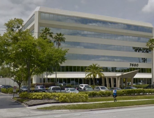
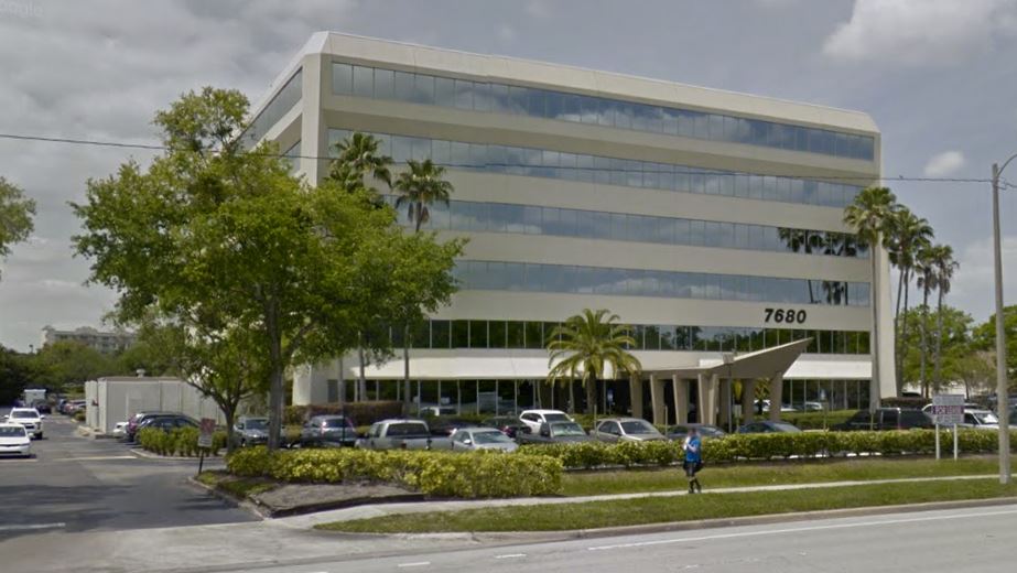
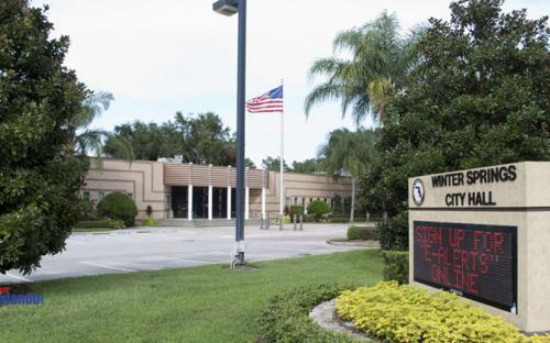
his project involved two 40+ acre parcels in an industrial park to be utilized for expansion and improvement of City services. As part of these property acquisitions, we provided the following services:
- Phase I Environmental Site Assessments (ESAs) in accordance with ASTM Standard E-1527-00; and
- Phase II ESAs involving the characterization of soil, groundwater, and subsurface soil/fill materials.
Phase I reconnaissance was conducted to look for apparent chemical releases (stained soils/stressed vegetation) and surface features (wells, septic tanks, tank vents, etc). Other activities included interviewing the property owner to evaluate past land uses and the history of the surrounding area; performing a vehicular reconnaissance of the surrounding areas to locate listed facilities and to evaluate whether adjacent land uses had a potential environmental impact on the subject site; performing a database search and a review of county regulatory agency and FDEP file records to determine if this site or adjacent properties were impacted; reviewing aerial photos and city directories to identify past uses of the property. Several recognized environmental concerns (RECs) were identified, and the City retained us to implement a Phase II assessment.
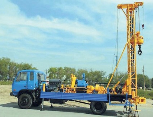
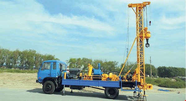
The Phase II ESA involved installing and sampling three temporary monitor wells placed in the water table zone and advancing numerous soil borings at various locations across the Site. The sampling program provided qualitative analytical data that was used in evaluating if soil and/or groundwater quality at the Site. Since the site had previously been used for disposing of construction debris, site work also included a geophysical survey to evaluate subsurface features and the extent of the buried waste material. A Geophysical Survey Systems GEM-300 multi-frequency electromagnetic profiler (EM) was used for obtaining information concerning the electromagnetic and conductivity properties of the material comprising the upper 20-foot interval of the site’s soil profile. This information was then used to prepare color contour maps for various electronic frequencies to assist in identifying subsurface materials. Test pits were then dug in selected areas to confirm the nature of the disposed material by visual observations and screening of the material with an organic vapor analyzer (OVA). Based on OVA measurements, soil samples were collected for chemical analysis by a NELAP-certified laboratory.
