
Project Description
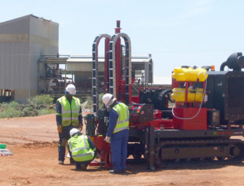
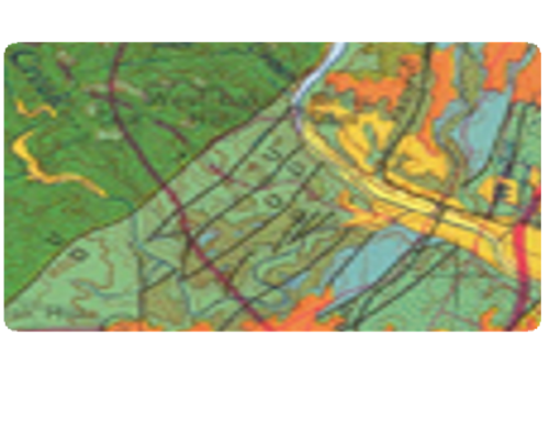
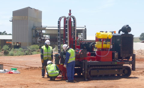
To address the concerns related to drums buried beneath the Site, The Environmental People completed an electromagnetic (EM) survey. The EM survey was performed using a Geonics GEM 300 multi-frequency terrain conductivity profiler. At the completion of the survey, data was transferred from the GEM 300 to a computer and manipulated using a Microsoft Excel spreadsheet. Coordinates for each data point were assigned to each measurement station and, using a contouring software package, various isopleths were constructed to visually represent the inphase and quadrature phase database (conductivity values are calculated from the quadrature phase data set).

